Sigiriya rock fortress above its gardens in Sri Lanka

9 days / 8 nights

Tea to tide

From ancient rock fortresses to the southern ocean.

Island Journeys
Real Connections

Your journey

A remarkable route
through Sri Lanka

Ancient wonders, misty highlands, wild landscapes and golden beaches — a journey that reveals the many sides of Sri Lanka.

  1. 01
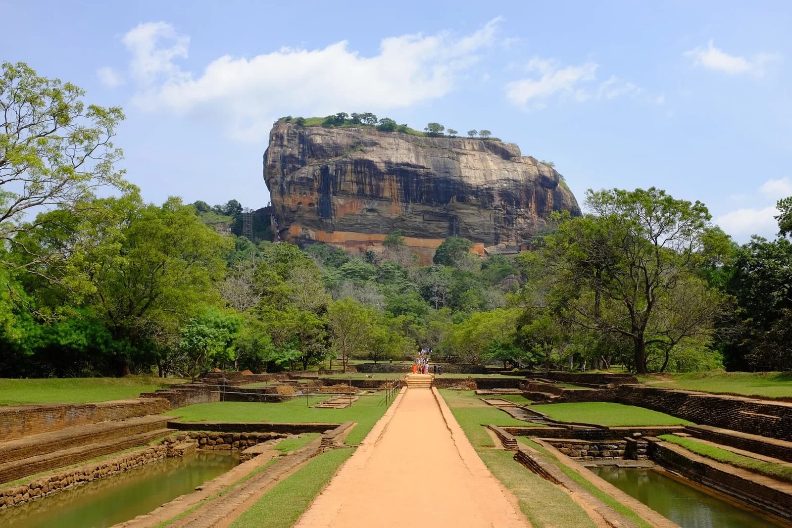
    Sigiriya rock fortress above its gardens in Sri Lanka

    Sigiriya2 nights

    Climb iconic rock fortresses, explore ancient kingdoms and enjoy peaceful village life.

  2. 02
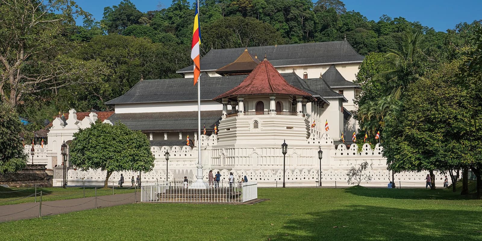
    Temple of the Sacred Tooth Relic in Kandy, Sri Lanka

    Kandy1 night

    Sacred temples, cultural traditions and a serene lakeside setting.

  3. 03
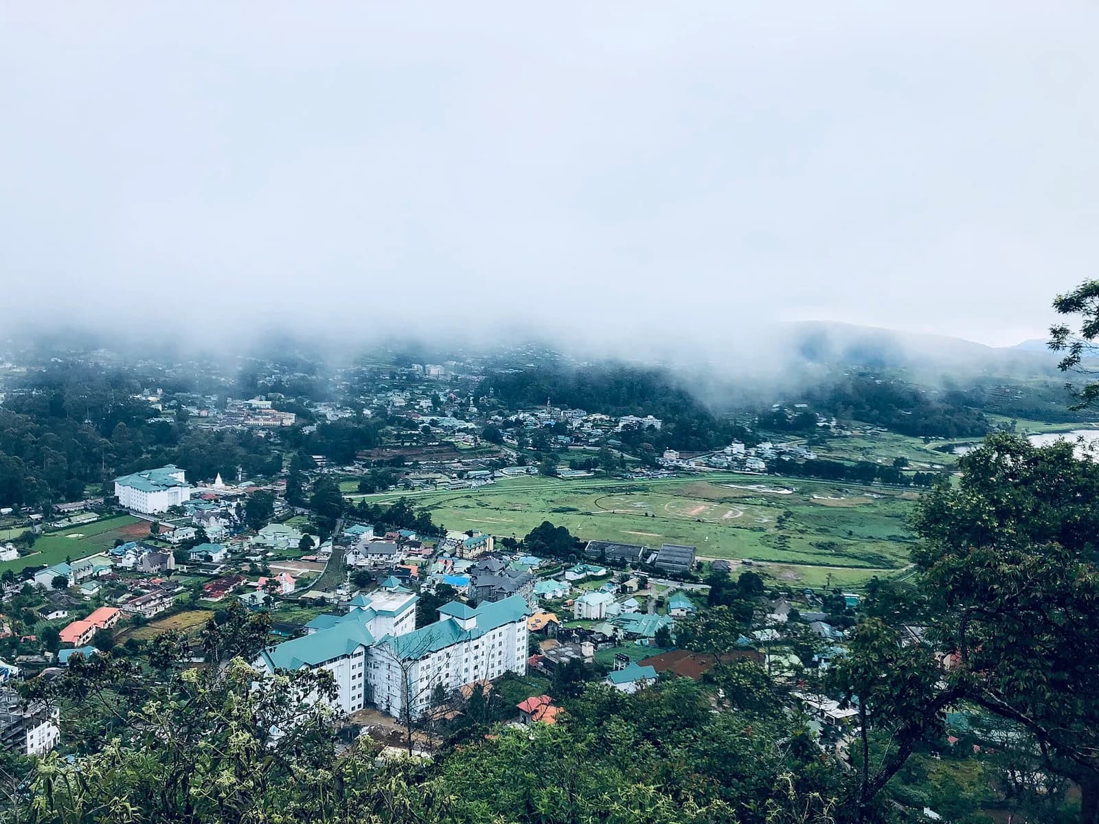
    Nuwara Eliya town and its misty surrounding hills

    Nuwara Eliya1 night

    Rolling tea estates, cool mountain air and colonial charm.

  4. 04
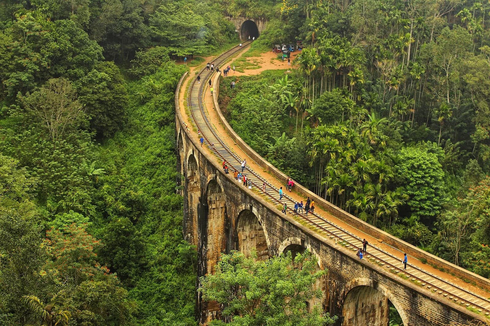
    Nine Arch Bridge curving through the forest near Ella

    Ella1 night

    Dramatic scenery, lush valleys and unforgettable train views.

  5. 05
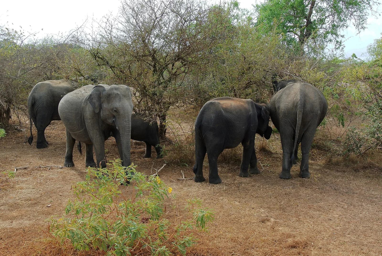
    A herd of elephants in Yala National Park

    Yala1 night

    Thrilling wildlife encounters in Sri Lanka’s most famous national park.

  6. 06
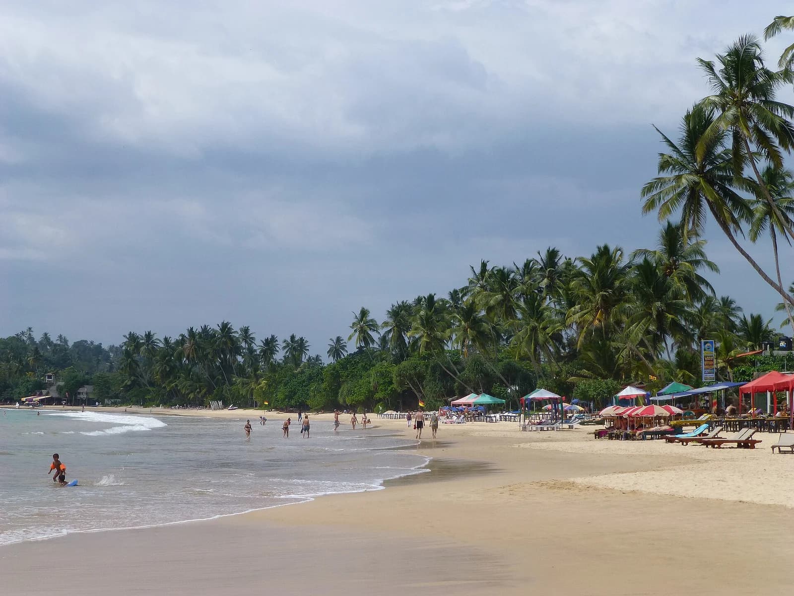
    Mirissa beach and its palm-lined southern coastline

    Mirissa1 night

    Relax on golden beaches and feel the rhythm of the southern ocean.

  7. 07
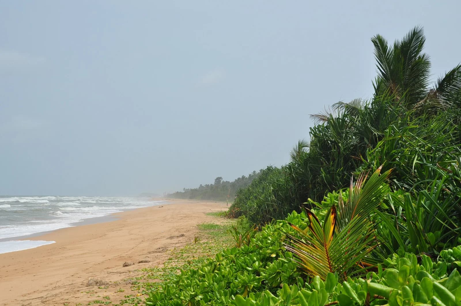
    The beach and coastal vegetation at Bentota

    Bentota1 night

    A perfect finale with palm-fringed shores and laid-back coastal vibes.

More
Than a Ride
A Deeper Sri Lanka
Sri Lanka: Sigiriya → Kandy → Nuwara Eliya → Ella → Yala → Mirissa → BentotaNorth-up geographic overview. Sigiriya marks Lion Rock summit; towns mark their mapped settlement centres. Shaded areas show national parks, with area reference pins, not entrances. Lines show visiting order, not roads.Yala National Park — mapped area, not a point destinationSigiriya — Lion Rock summit · 7.9566634° N, 80.7599301° ESigiriyaKandy — mapped city centre · 7.2931208° N, 80.6350358° EKandyNuwara Eliya — mapped city centre · 6.9739741° N, 80.7669855° ENuwara EliyaElla — mapped town centre · 6.8736058° N, 81.0489927° EEllaYala National Park — area reference · 6.5709721° N, 81.5072819° EYalaMirissa — mapped town centre · 5.9493634° N, 80.4558128° EMirissaBentota — mapped town centre · 6.4215276° N, 79.9978544° EBentota
Lines show stop order, not roads. Shaded areas are parks.
Locations © OpenStreetMap contributors · Coast: Natural Earth

Sri LankaNatural beauty
Richer connections