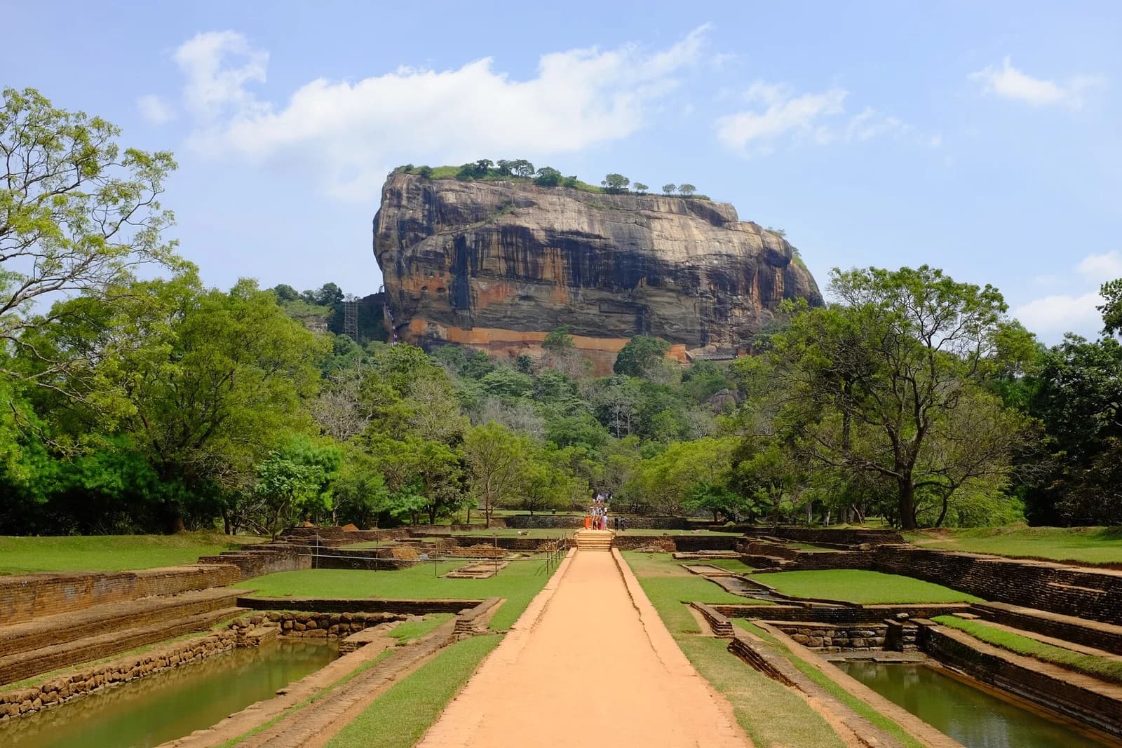
Sigiriya rock fortress above its gardens in Sri Lanka

12 days / 11 nights

The grand loop

See the island change around you.

Island Journeys
Real Connections

Your journey

A remarkable route
through Sri Lanka

An immersive route linking the Cultural Triangle, east coast, highlands, wildlife and southern beaches.

  1. 01
    Sigiriya rock fortress above its gardens in Sri Lanka

    Sigiriya2 nights

    Climb the ancient rock fortress, trace the Cultural Triangle and settle into the quiet of the plains.

  2. 02
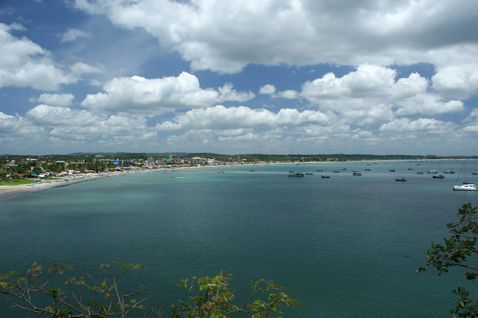
    The bay and shoreline of Trincomalee

    Trincomalee1 night

    Clear eastern water, calm coves and a coastline with its own slower rhythm.

  3. 03
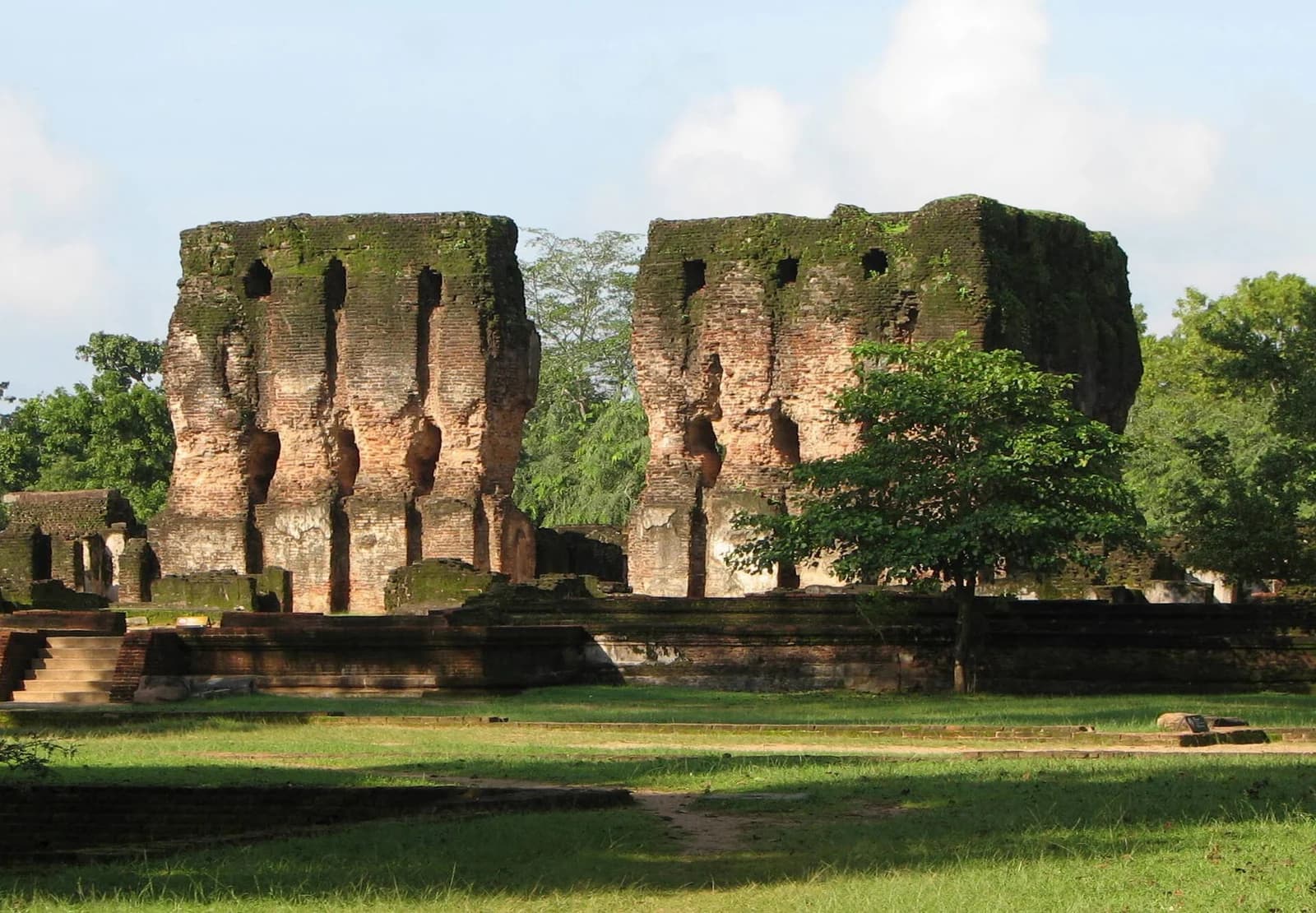
    Ancient ruins at Polonnaruwa, Sri Lanka

    Polonnaruwa1 night

    Cycle or drive through an extraordinary medieval capital carved into the dry-zone landscape.

  4. 04
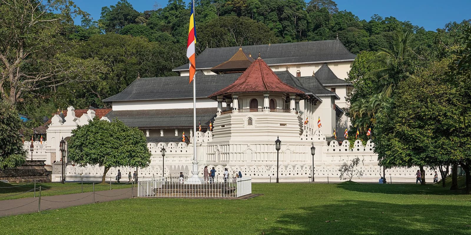
    Temple of the Sacred Tooth Relic in Kandy, Sri Lanka

    Kandy2 nights

    Sacred temples, lakeside walks and the living rhythms of Sri Lanka’s hill capital.

  5. 05
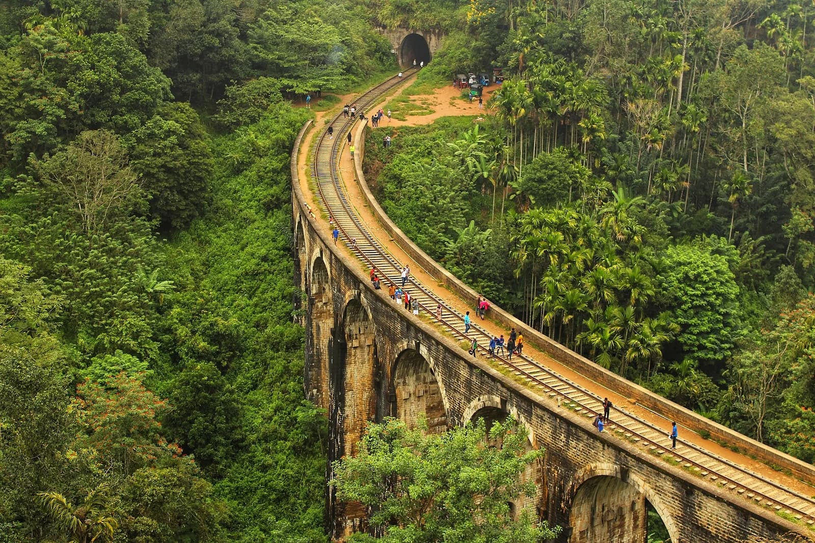
    Nine Arch Bridge curving through the forest near Ella

    Ella1 night

    Ride into tea country, walk through cloud-soft valleys and slow down among the hills.

  6. 06
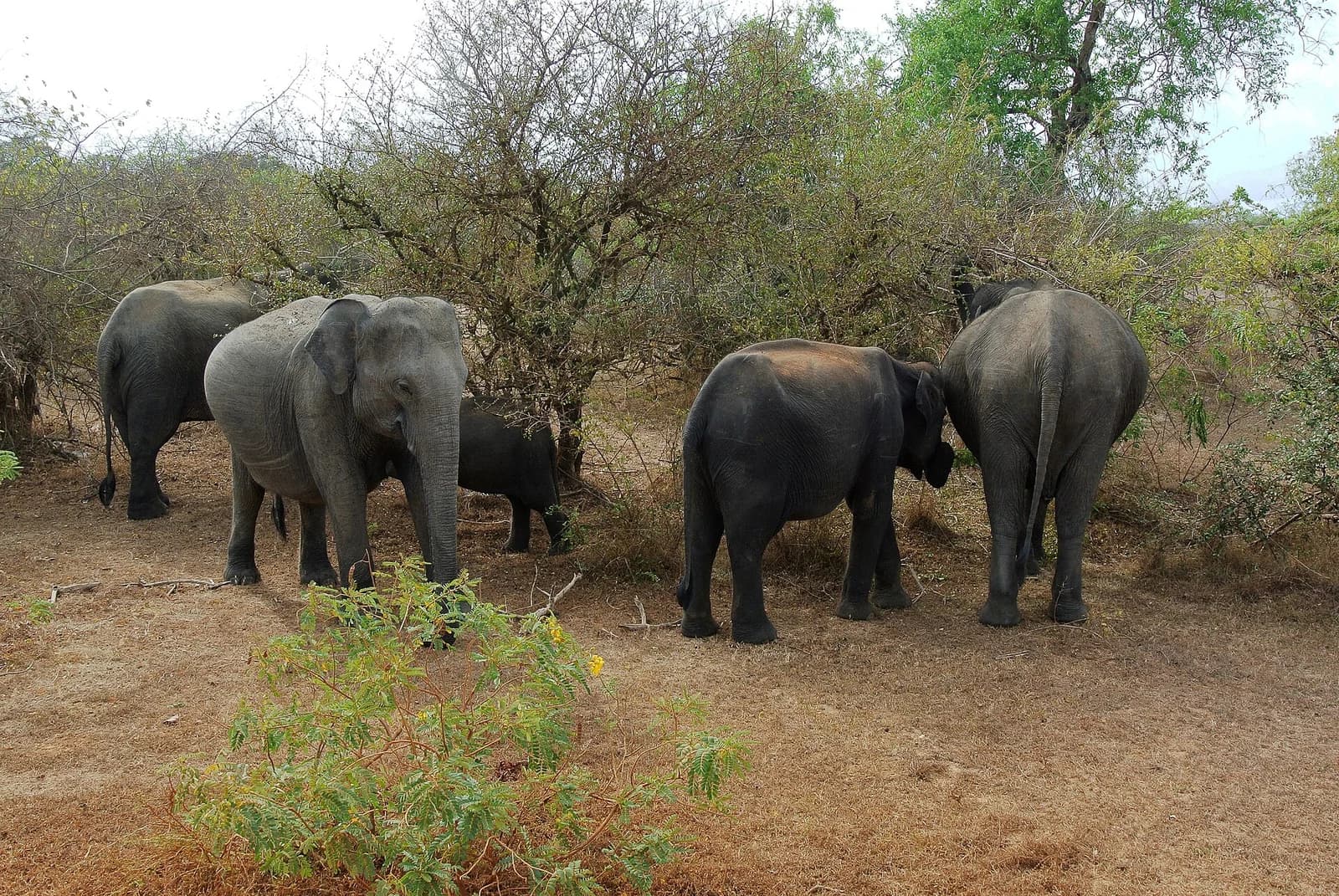
    A herd of elephants in Yala National Park

    Yala1 night

    Dawn safari tracks, wild landscapes and a chance to see the island at its most untamed.

  7. 07
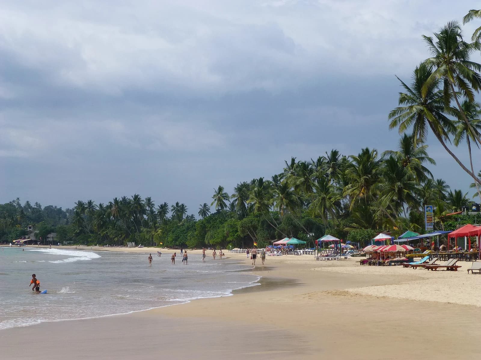
    Mirissa beach and its palm-lined southern coastline

    Mirissa1 night

    Unwind along the southern coast with warm water, open skies and time at your own pace.

  8. 08
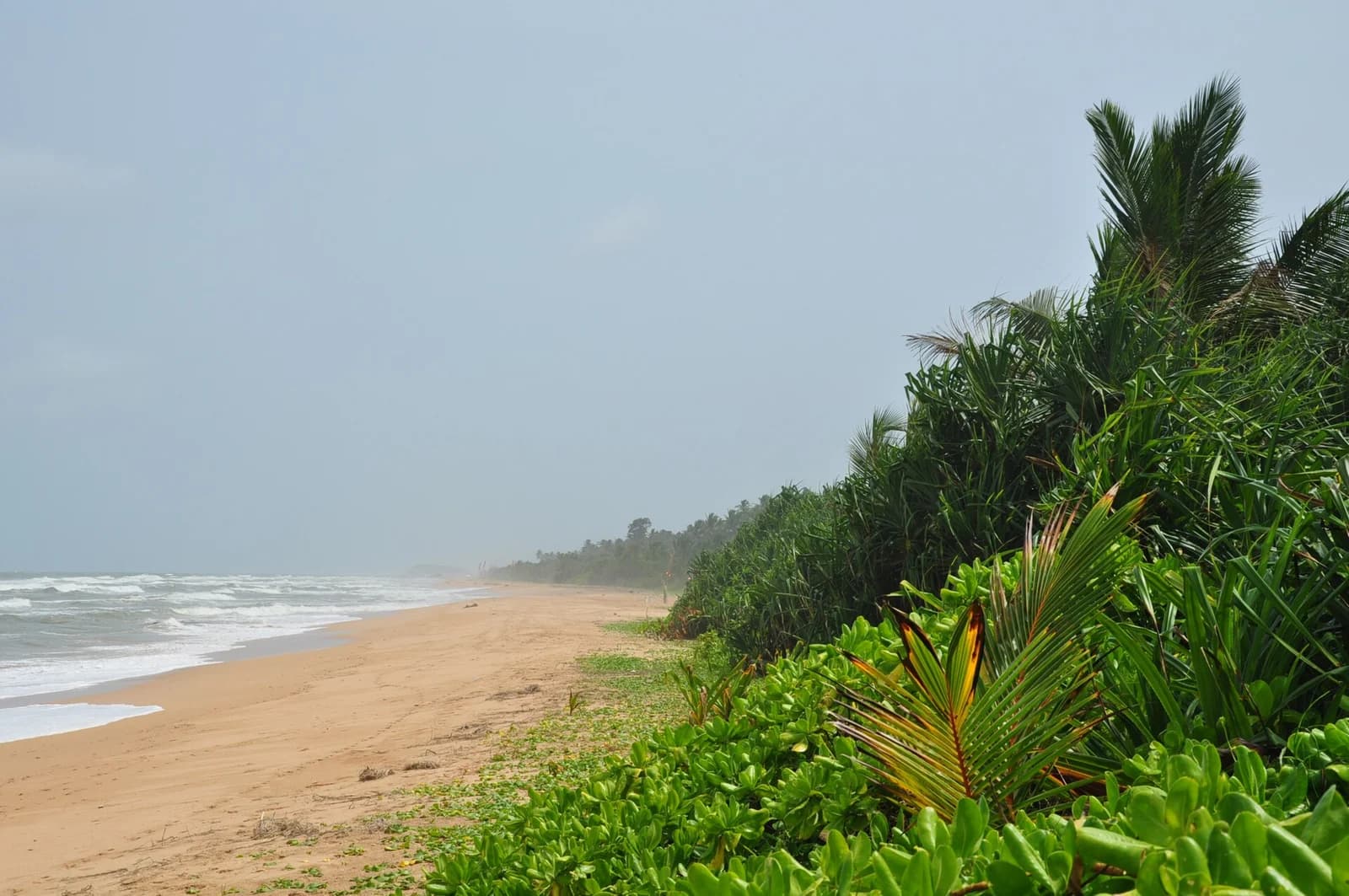
    The beach and coastal vegetation at Bentota

    Bentota1 night

    A palm-lined coastal finale shaped around river, beach and unhurried afternoons.

  9. 09
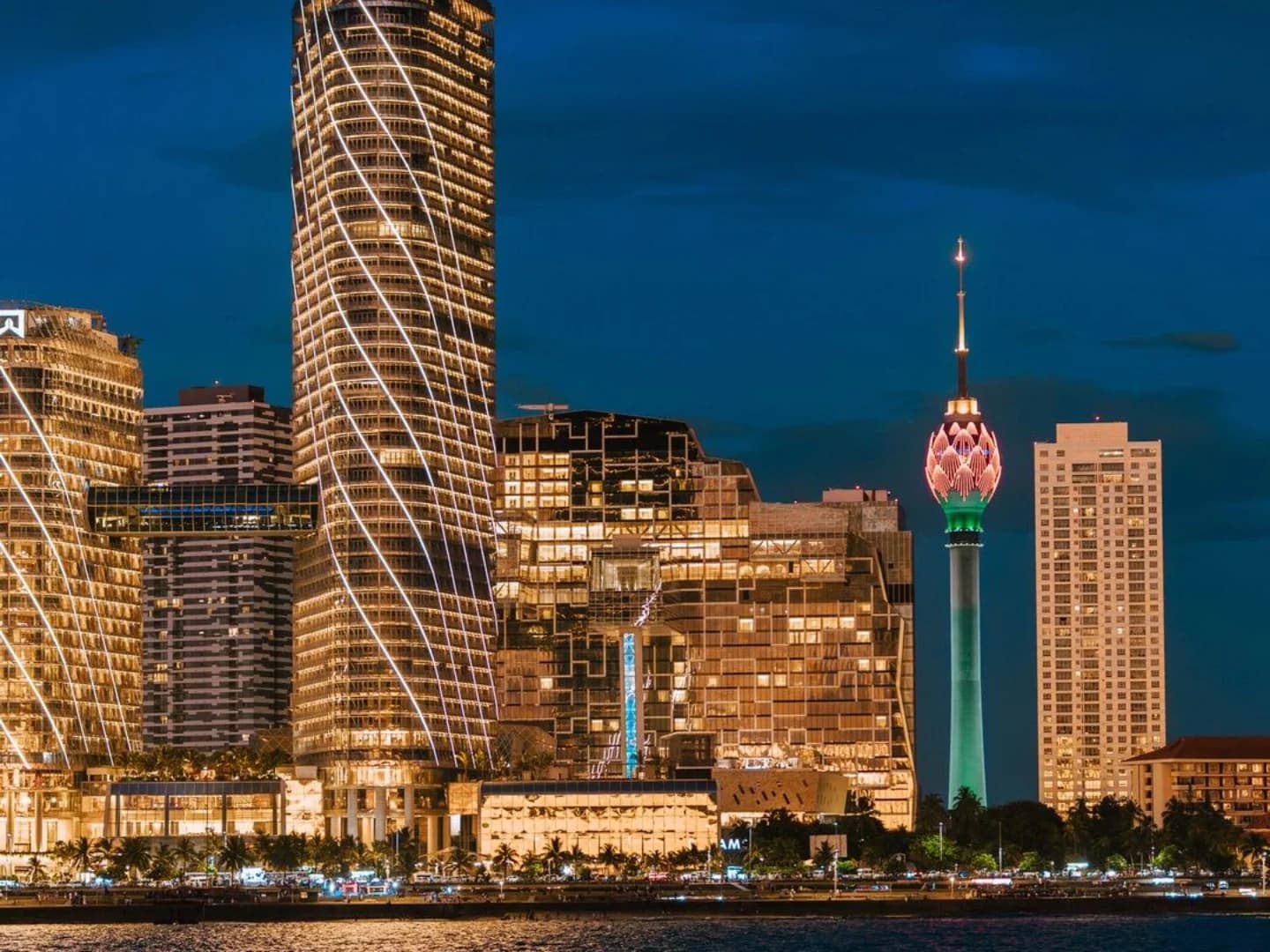
    The Colombo skyline at night

    Colombo1 night

    Finish among markets, sea-facing avenues and the energetic contrasts of the capital.

More
Than a Ride
A Deeper Sri Lanka
Sri Lanka: Sigiriya → Trincomalee → Polonnaruwa → Kandy → Ella → Yala → Mirissa → Bentota → ColomboNorth-up geographic overview. Sigiriya marks Lion Rock summit; towns mark their mapped settlement centres. Shaded areas show national parks, with area reference pins, not entrances. Lines show visiting order, not roads.Yala National Park — mapped area, not a point destinationSigiriya — Lion Rock summit · 7.9566634° N, 80.7599301° ESigiriyaTrincomalee — mapped city centre · 8.5764250° N, 81.2344952° ETrincomaleePolonnaruwa — mapped city centre · 7.9395357° N, 81.0003387° EPolonnaruwaKandy — mapped city centre · 7.2931208° N, 80.6350358° EKandyElla — mapped town centre · 6.8736058° N, 81.0489927° EEllaYala National Park — area reference · 6.5709721° N, 81.5072819° EYalaMirissa — mapped town centre · 5.9493634° N, 80.4558128° EMirissaBentota — mapped town centre · 6.4215276° N, 79.9978544° EBentotaColombo — mapped city centre · 6.9388614° N, 79.8542005° EColombo
Lines show stop order, not roads. Shaded areas are parks.
Locations © OpenStreetMap contributors · Coast: Natural Earth

Sri LankaNatural beauty
Richer connections